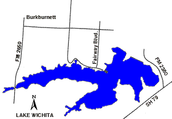
33°50.0N 98°33.5W
Red River Group
2,200
surface acres
Depth
avg = 40 ft
Conservation Pool
976 ft MSL
Water Level
(940)761-7477
VFR Sectional(s)
DFW
Unicom
122.90
Fuel:
None reported.
Recreational Facilities:
Camping, picnic areas, restrooms, fishing, boat
ramps.
Reservoir Controlling Agency:
City of Wichita Falls (940)761-7477
1300 7th Street
Wichita Falls, Texas 76307
Other Links:
Texas
Parks and Wildlife