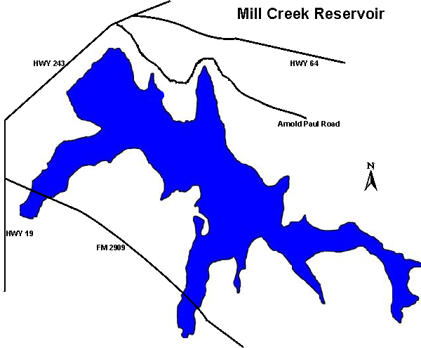
32°32.0N 95°51.0W
Neches River Group
364
surface acres
Depth
avg = 10 ft
max = 25 ft
VFR Sectional(s)
DFW
Unicom
122.90
Fuel:
None reported.
Recreational Facilities:
Picnic areas, restrooms, fishing, boat ramp.
Reservoir Controlling Agency:
City of Canton (903)567-2826
PO Box 245
Canton, Texas 75103
Other Links:
Texas
Parks and Wildlife
Canton Chamber of Commerce