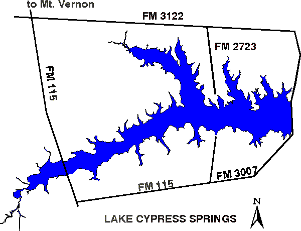
N33°03.58; W095°11.50
Cypress River Group
3,450
surface acres
Depth
avg = 21 ft
max = 56 ft
Conservation Pool
378 ft MSL
VFR Sectional(s)
Memphis
Unicom
122.90
Seaplanes must operate in Daytime Visual Flight Rules conditions.
Touch and Go operations are prohibited.
Fuel:
MOGAS:
Cypress Springs Marina (903)860-2891
Tall Tree Marina (903)860-2198
Recreational Facilities:
Camping, fishing, boat ramp.
Reservoir Controlling Agency:
Franklin County Water District (903)537-4536
Other Links:
Texas
Parks and Wildlife