33°49.97N 95°35.67W
Red River Group
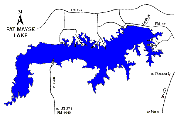
5,993
surface acres
Depth
avg = 12 ft
max = 53 ft
Conservation Pool
452 ft MSL
VFR Sectional(s)
DFW
Unicom
122.90
Restrictions: No 24 hr mooring,
operate 1,000 from dam, occupied public sites, oil field and bridges.
Prohibited: Night operations sunset through sunrise,
commercial operations without permission.
Fuel:
None reported.
Recreational Facilities:
Camping, picnic areas, swimming, restrooms, fishing,
boat ramps.
Reservoir Controlling Agency:
US
Army Corps of Engineers (903)732-3023
Pat Mayse Lake
PO Box 129
Powderly, Texas 75473-012
Other Links:
Texas
Parks and Wildlife